A magnitude 7.8 earthquake struck off the coast of Mindanao in the southern Philippines on Monday, 8 June 2026, killing at least eight people and triggering tsunami warnings across a wide stretch of the Asia-Pacific region.
As reported by Al Jazeera, the quake hit at 07:37 local time, with its epicentre recorded off Sarangani province in the Soccsksargen region, approximately 26 kilometres west-southwest of Kablalan.
It is the strongest earthquake to hit the Philippines since 1990.
Philippines earthquake: buildings collapse in General Santos City
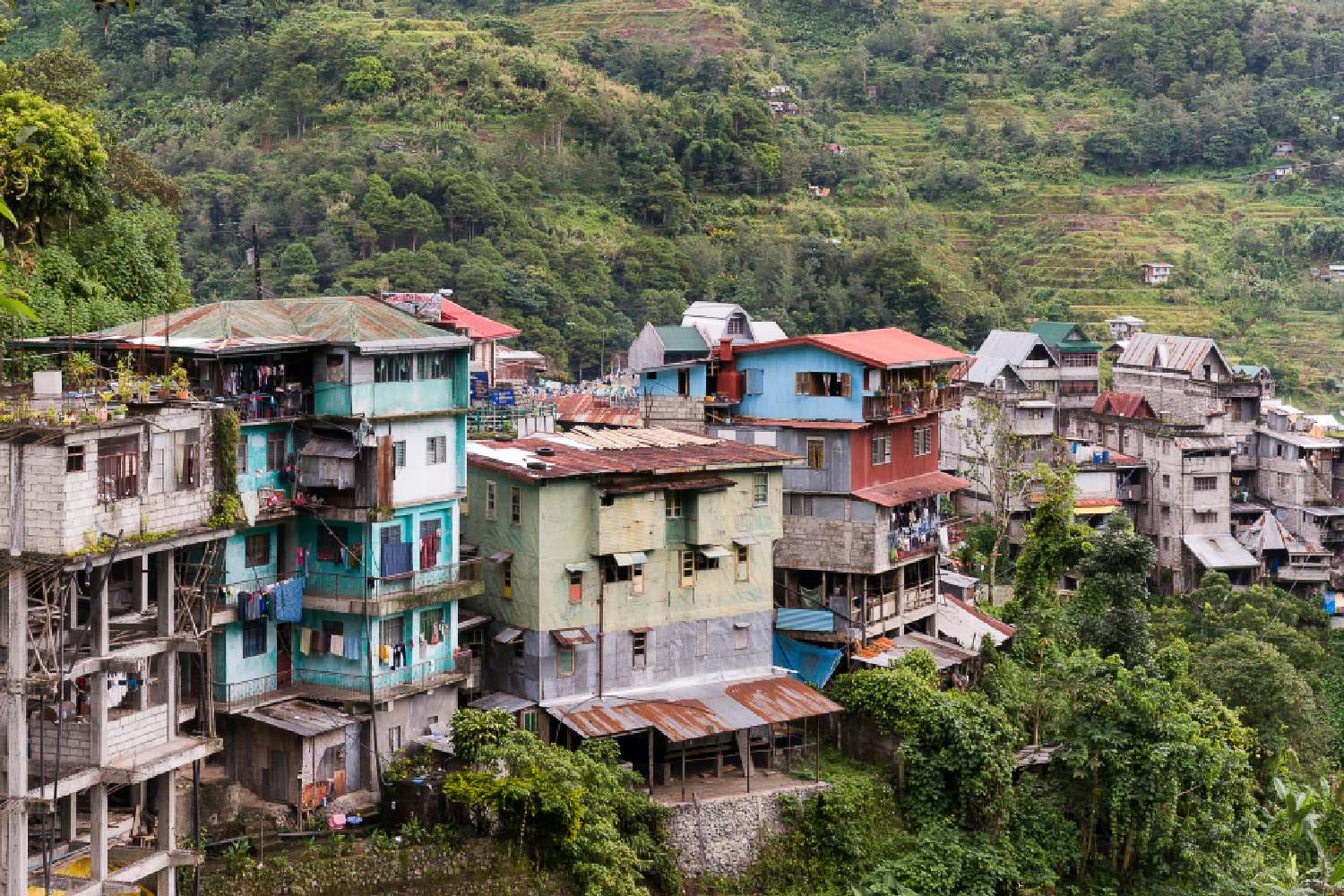
Buildings collapsed in General Santos City, including a three-storey structure housing a restaurant and a radio studio.
A high school in Matanao also sustained structural damage. The Philippine Institute of Volcanology and Seismology recorded a maximum intensity of VII, classified as Destructive, at General Santos.
The Office of Civil Defense confirmed eight deaths by the morning of 8 June.
PHIVOLCS initially measured the earthquake at magnitude 7.0, though the United States Geological Survey and the European-Mediterranean Seismological Centre both revised the figure upward to 7.8.
More than 138 aftershocks were recorded in the hours following the initial quake, with seismologists warning that additional significant tremors remained possible.
Philippines earthquake tsunami: warnings spread across Asia-Pacific
The Pacific Tsunami Warning Centre issued alerts covering a broad stretch of the Asia-Pacific. Waves as high as three metres were projected for coastal areas of the Philippines, with waves of up to one metre possible in parts of Indonesia and Malaysia.
Authorities in Japan, Taiwan, Micronesia, Papua New Guinea and the Solomon Islands were also placed on alert.
PHIVOLCS advised:
“Owners of boats in harbors, estuaries or shallow coastal water of the above-mentioned provinces should secure their boats and move away from the waterfront.”
Monitoring stations subsequently recorded tsunami wave heights of up to 1.4 metres at several sea-level gauges along the Philippine coast.
Philippine authorities ordered immediate evacuations across nine provinces, directing residents to higher ground ahead of the first projected wave arrivals.
What happens next after the Philippines earthquake
Search and rescue operations were underway across affected areas of Mindanao as authorities worked to establish the full extent of casualties and structural damage.
The death toll was expected to rise as teams reached more remote areas of Sarangani province. PHIVOLCS said it would continue monitoring aftershock activity, and the Pacific Tsunami Warning Centre was assessing whether additional warnings would be required across the wider Pacific.
The Philippines sits along the Pacific Ring of Fire, one of the world’s most seismically active zones, and experiences dozens of significant earthquakes each year.
Authorities noted this was the country’s most powerful quake in over three decades.