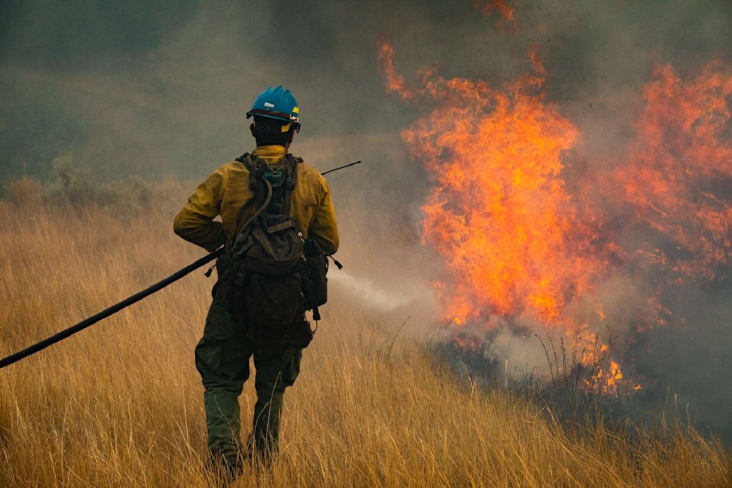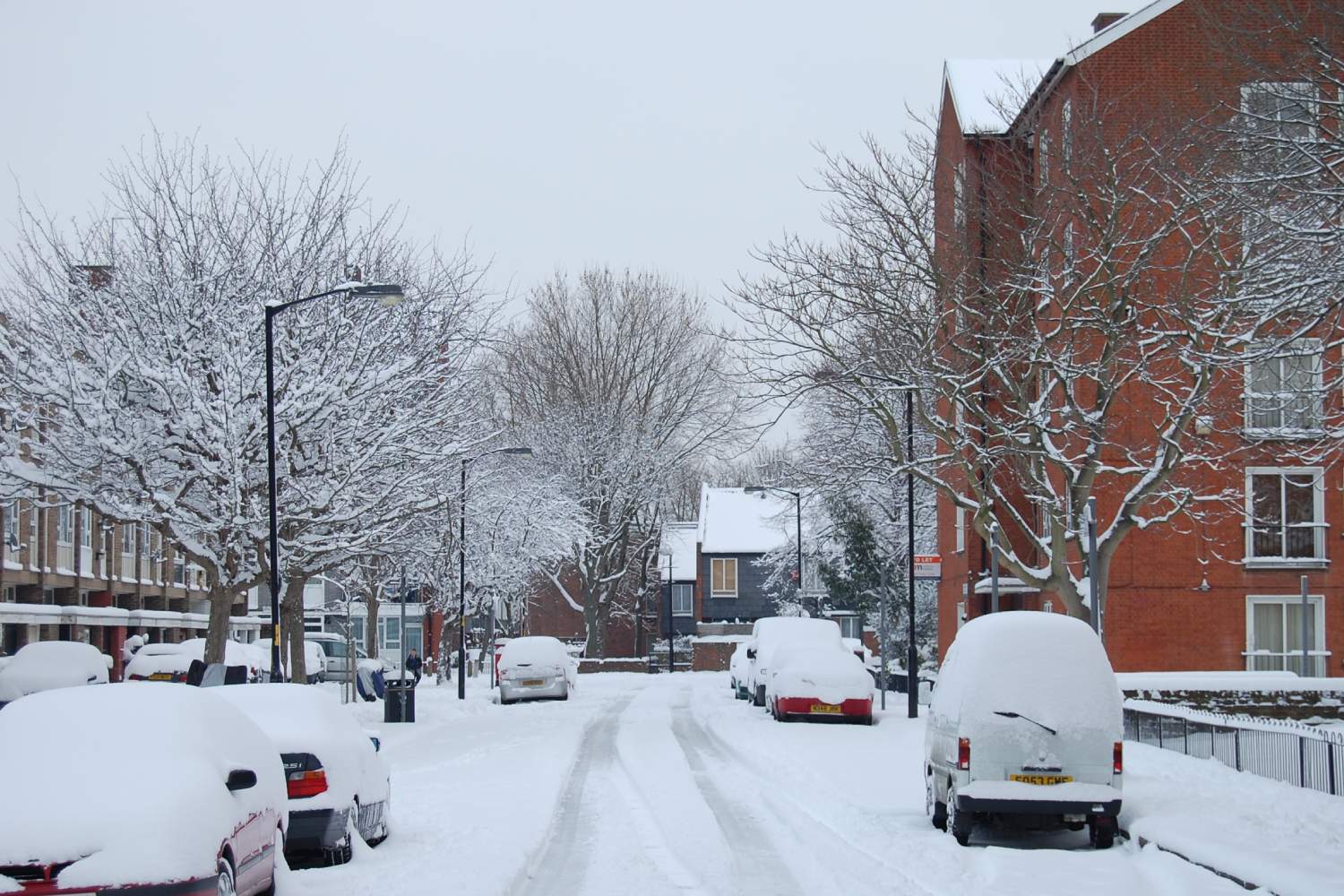
The UK is bracing for Storm Goretti as the Met Office rolls out widespread weather warnings for snow and wind, forecasting heavy accumulations in parts of Wales and central England and potentially damaging gusts in the far southwest.
Storm Goretti warnings: where the Met Office says the worst impacts could hit
Sky News reports yellow snow warnings across large parts of the UK, with an amber snow warning covering parts of Wales, the Midlands and areas further north where up to 30cm of snow is possible.
A separate amber wind warning is in place for Cornwall, where the Met Office is forecasting gusts reaching about 80–90mph and warning that flying debris and large waves could create a risk of injury or danger to life, particularly along exposed coasts and seafronts.
What experts are saying about Storm Goretti
Met Office chief forecaster Neil Armstrong has described the system as a “multi-hazard event” bringing snow, strong winds and heavy rain.
Met Office meteorologist Alex Burkill has warned that 20cm or more of snow could settle in some areas, “enough to cause some severe disruption.”
Expected impacts: travel disruption, power cuts and communities cut off
According to the warning impacts outlined by Sky News, drivers could become stranded, rail and air travel may face cancellations and delays, and rural communities risk being cut off.
The same impact guidance warns of possible power cuts and disruption to services including mobile phone networks.
Health risk warnings are also running alongside the storm alerts, with UK health officials extending cold health alerts in England as freezing conditions persist.
Scotland already dealing with sub-zero disruption
Parts of northern Scotland have already experienced multiple days of snow and sub-zero temperatures, with significant school closures reported and some councils warning about isolation risks in rural areas.
A resident quoted by Sky News described conditions in Aberdeenshire as unusually severe, saying there had been “nothing like this since 2010.”
What to watch in the next 24–48 hours
The most immediate risk period is expected from Thursday into Friday as the storm’s snow band and strongest winds move through warned areas.
The Met Office is urging the public to monitor local forecasts and warnings, with travel plans and coastal exposure likely to be the main flashpoints as conditions deteriorate.