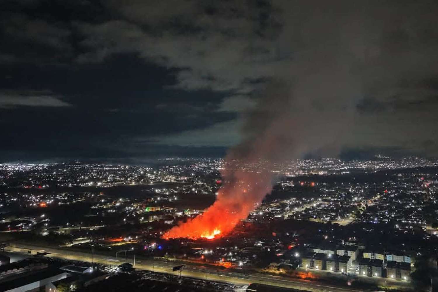
The South African Weather Service has issued a yellow level 2 warning for destructive thunderstorms, damaging winds, and localised flooding across Gauteng, North West, and the Highveld of Mpumalanga for Wednesday 15 April 2026, as a multi-day severe weather system continues to affect large parts of the country.
The warning is the latest in a pattern of severe weather alerts that has prompted advisories across five provinces since the start of the week. eThekwini has also been placed on high alert as storms and the threat of flooding move through KwaZulu-Natal, while the Western Cape is bracing for rough seas.
What SAWS is warning about
A yellow level 2 alert is the second tier of SAWS’s four-level warning system and indicates a condition that is potentially dangerous. Residents in the affected provinces should expect severe thundershowers with heavy, localised downpours, damaging winds, and the risk of flash flooding in low-lying areas and informal settlements.
The UVB sunburn index for Wednesday remains very high in Gauteng between storm cells, and residents are advised to limit direct sun exposure during clear intervals.
SAWS is urging motorists to exercise extreme caution on roads and to avoid crossing flooded streams, bridges, or low-water crossings.
“Do not walk, swim, or drive through flood water,” SAWS advised in its public bulletin, noting that rapidly rising water can be deceptive in its depth and speed.
KZN and broader provincial impact
Beyond Gauteng, eThekwini Municipality activated its disaster management protocols ahead of anticipated heavy rainfall in KwaZulu-Natal.
The municipality, which was devastated by catastrophic flooding in April 2022 and has since invested in early warning infrastructure, is using its upgraded alert systems to issue community advisories in flood-prone areas.
The broader severe weather episode has affected at least four additional provinces since Monday. The pattern reflects a late-season convergence of moisture-laden air from the Indian Ocean coast combined with active Highveld thunderstorm activity, a combination that SAWS has identified as a recurring risk for this time of year.
What residents should do
Residents across affected provinces are advised to check SAWS’s official warnings portal before travelling, to secure loose objects that could become projectiles in high winds, and to stay away from rivers and streams.
Those in flood-prone areas should identify their nearest emergency shelter in advance and keep an emergency bag of essentials ready.
Emergency services numbers for each province are available on the SAWS website and on the Disaster Management Institute of Southern Africa portal.
Anyone with information about flood-related emergencies is urged to contact Crime Stop on 08600 10111 or submit a tip-off on the MySAPS app.
Swisher Post will update this article as conditions develop throughout Wednesday 15 April.