

A level 4 weather warning for South Africa has been issued for Thursday, 3 September 2026, with the South African Weather Service forecasting disruptive rainfall and damaging winds across parts of the Western Cape and Northern Cape.
The warnings formed part of a broader shift in conditions driven by a cut-off low-pressure system developing over the western interior on Thursday, as reported by TimesLIVE.
Cold, wet and windy weather was expected to reach the Western Cape and Northern Cape from Thursday into Friday, 4 September 2026.
Where the level 4 weather warning applies in South Africa
The first warning covered disruptive rainfall in the Overberg and Garden Route districts of the Western Cape, where the weather service expected flooding of roads and settlements, along with major disruption to traffic flow, for the whole of Thursday.
A separate level 4 warning covered damaging wind in the Namakwa district of the Northern Cape and in parts of the Cape Winelands, Central Karoo and Little Karoo municipality in the Western Cape, running from Thursday afternoon into Friday. The wind was expected to damage temporary structures and settlements.
The weather service listed injuries and danger to life from flying debris among the likely effects, together with disruption to transport and travel. Very cold conditions were also forecast over high-lying areas, with maximum temperatures possibly staying below 10°C in places.
What happens after the level 4 weather warning on Thursday
As the cut-off low moved eastwards over the weekend, the weather service expected a noticeable temperature drop, scattered to widespread showers and thundershowers, and windy conditions in the Free State, Gauteng, Eastern Cape, KwaZulu-Natal and the eastern parts of North West, from Friday into Sunday, 6 September 2026.
A signal for severe thunderstorms was flagged over parts of the Free State, North West and Gauteng from Friday afternoon into Saturday evening, 5 September 2026.
The risk was then expected to shift east to Mpumalanga and KwaZulu-Natal from Sunday morning, possibly extending into southern Limpopo.
The South African Weather Service said:
“The exact location and intensity of severe thunderstorms will depend on the evolution of the atmospheric system, and the public is encouraged to remain updated with the latest forecasts and warnings.”
Severe thunderstorms and snowfall in the forecast
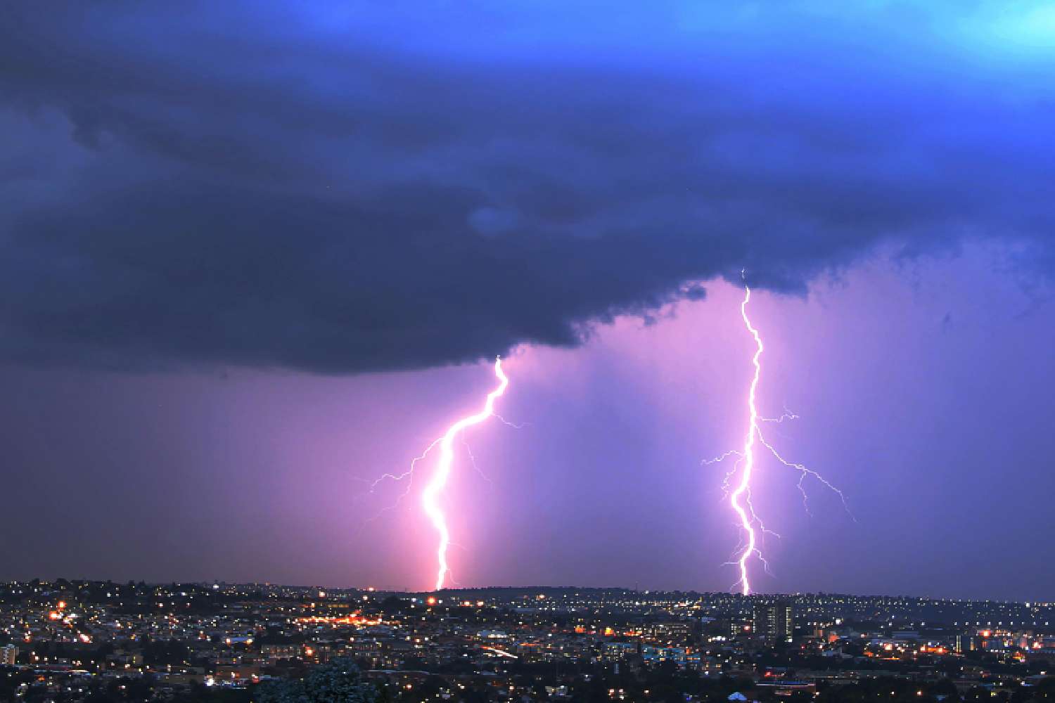
Where severe thunderstorms developed, the weather service warned they could bring heavy downpours resulting in localised flooding, strong and potentially damaging winds, excessive lightning and the possibility of hail.
Snowfall was also flagged over the Drakensberg Mountains of the Eastern Cape on Friday morning, extending into the high-lying areas of Lesotho.
The warnings landed as South Africa entered meteorological spring on Tuesday, 1 September 2026. The weather service reminded the public that the period marks an important transition in the country’s seasonal weather patterns, when the rainfall balance between the winter and summer regions begins to shift.
The weather service expected the cut-off low to have moved through the eastern provinces by Sunday, 6 September 2026.
That would mark the end of a cold-front season which brought repeated snow and damaging-wind alerts from the middle of winter onwards. Updated warnings will follow as the system develops.